![]() The official trusted Lango website for the best information
The official trusted Lango website for the best information
![]() The official trusted Lango website for the best information
The official trusted Lango website for the best information
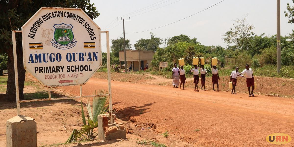
Alebtong, carved from Lira District in 2010, spans 1,527 km² of fertile plains in the Lango sub-region. Its 2024 population is estimated at approximately 254,000 (51% female, 49% male; 50% under 18), up from 227,541 in 2014, with an annual growth rate of 2.9%.
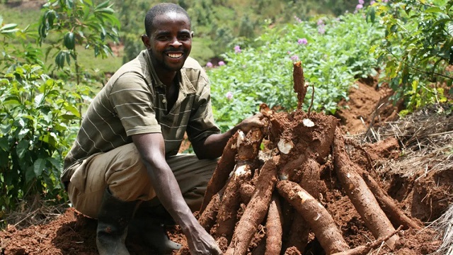
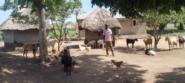
Agriculture forms the backbone of the district’s economy, with sorghum, cassava, and groundnuts as staple crops. Livestock rearing is common, and small-scale trade thrives in centers like Aloi Town Council.
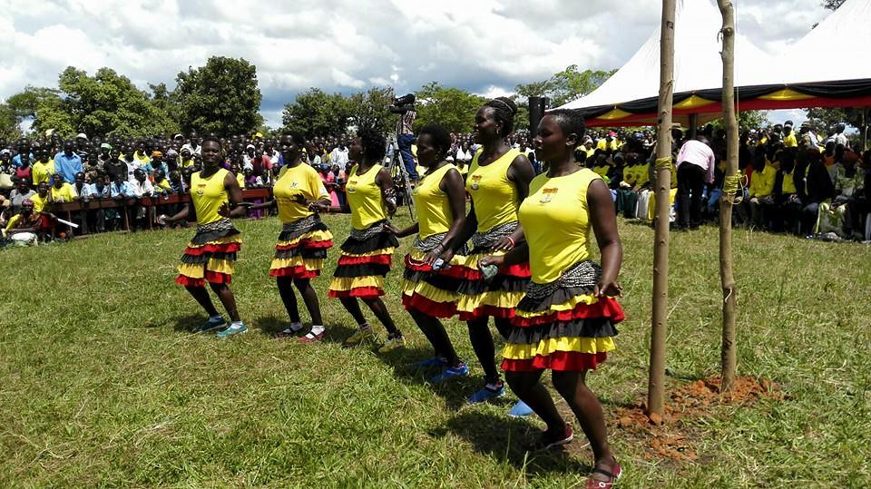
Alebtong is rich in cultural expression, known for its Lango dances and festivals that uphold Nilotic traditions. The district is also noted for public health campaigns such as mosquito net distribution, and leadership by figures like MP Dorcus Acen.
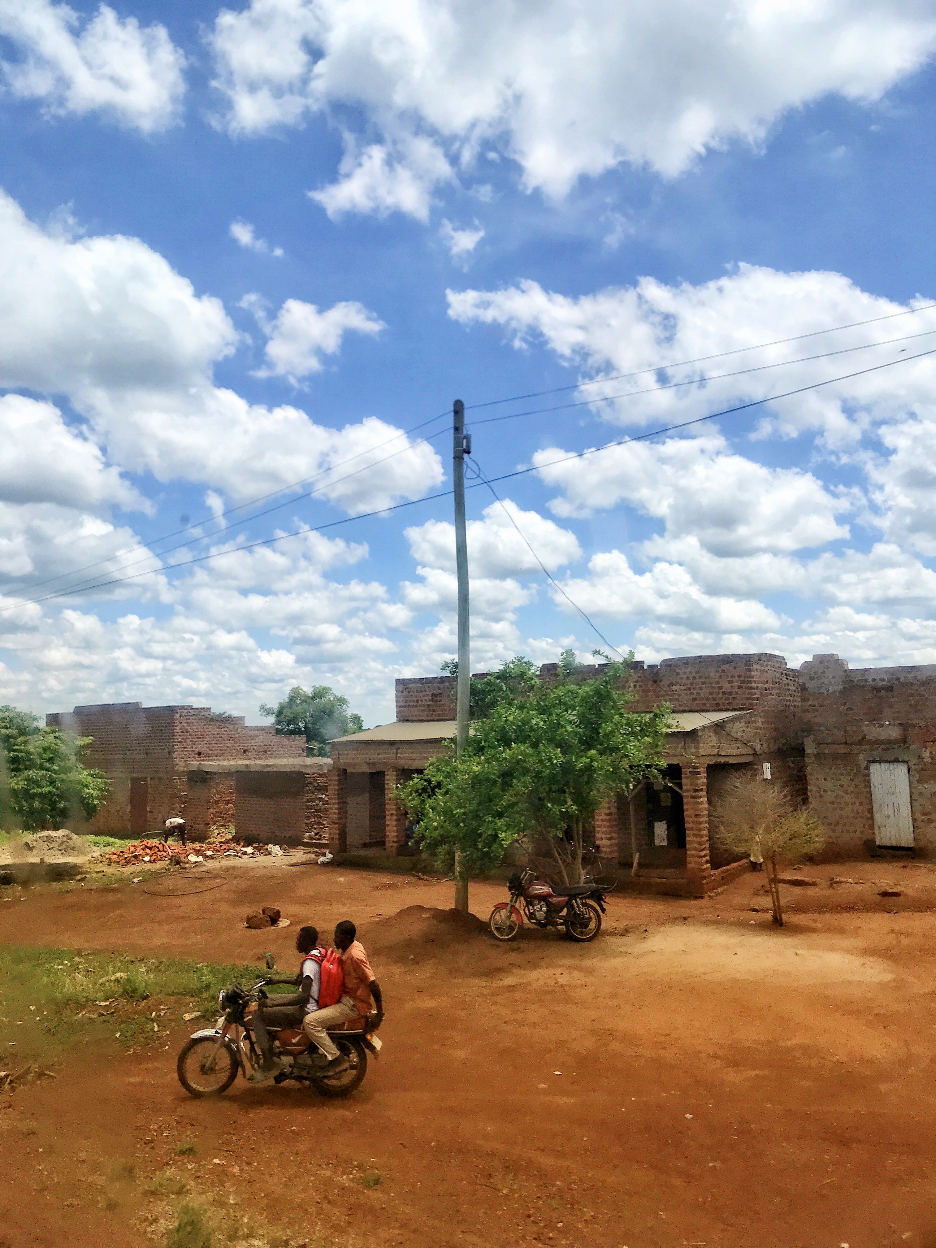
Key challenges include teenage pregnancies (2,190 cases in 2021), land conflicts driven by population pressure, and poor road infrastructure—especially the Agweng–Barjobi route. Still, strong community-led initiatives in health and education highlight the district’s resilience and growth potential.


Amolatar, established in 2005 from Lira District, spans 1,758 km² along the shores of Lake Kyoga. Its estimated 2024 population is around 190,000 (51% female, 49% male; 51% under 18), up from 147,166 in 2014.
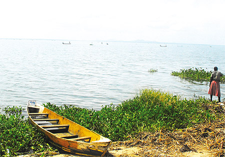
The district’s economy is driven by fishing and rice cultivation. Commercial fishing on Lake Kyoga and subsistence farming of millet and other crops sustain many households. The iconic Amolatar Monument marks Uganda’s geographic center and stands as a key landmark.
Culturally, Amolatar celebrates Lango music and dance through festivals. Awelo Secondary School is one of its notable educational institutions. The district also demonstrates strong political participation, with figures like MP Doreen Amule taking leading roles.
However, Amolatar faces significant challenges including high teenage pregnancy rates (1,939 cases in 2021), frequent malaria outbreaks (26,228 cases in 2023), and poor road connectivity—particularly along the Dokolo–Amolatar route. Despite these setbacks, the district's vibrant communities and cultural richness remain defining strengths.
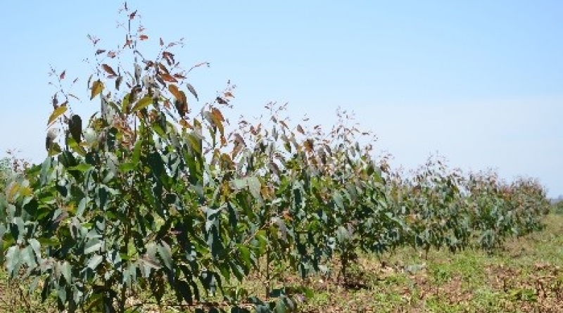
Apac is a historic district in the Lango sub-region, spanning 2,026 km² and known as an agricultural powerhouse. As of 2024, its population is estimated at ~450,000 (51% female, 49% male; 50% under 18), up from 368,600 in 2014. Cotton, millet, maize farming, and cattle rearing drive its economy.
Apac General Hospital plays a vital role in serving over 40,000 residents, though it faces ongoing staffing shortages. The district is also rich in cultural heritage, hosting traditional Lango ceremonies that preserve Nilotic clan customs.
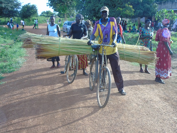
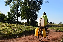
Key highlights include a bicycle initiative that improved HIV/AIDS treatment access and the leadership of figures like MP Betty Awor Engola. However, Apac still grapples with poor road networks (e.g., the Apac–Teboke route), a teenage pregnancy rate of 1,714 cases in 2021, and a high HIV prevalence of 7.4%.
Despite these challenges, Apac’s agricultural wealth and strong community spirit make it a vital and resilient part of the Lango sub-region—though infrastructure upgrades remain crucial for sustainable progress.
Amolatar, established in 2005 from Lira District, spans 1,758 km² along the shores of Lake Kyoga. Its estimated 2024 population is around 190,000 (51% female, 49% male; 51% under 18), up from 147,166 in 2014.
The district’s economy is driven by fishing and rice cultivation. Commercial fishing on Lake Kyoga and subsistence farming of millet and other crops sustain many households. The iconic Amolatar Monument marks Uganda’s geographic center and stands as a key landmark.
Culturally, Amolatar celebrates Lango music and dance through festivals. Awelo Secondary School is one of its notable educational institutions. The district also demonstrates strong political participation, with figures like MP Doreen Amule taking leading roles.
However, Amolatar faces significant challenges including high teenage pregnancy rates (1,939 cases in 2021), frequent malaria outbreaks (26,228 cases in 2023), and poor road connectivity—particularly along the Dokolo–Amolatar route. Despite these setbacks, the district's vibrant communities and cultural richness remain defining strengths.
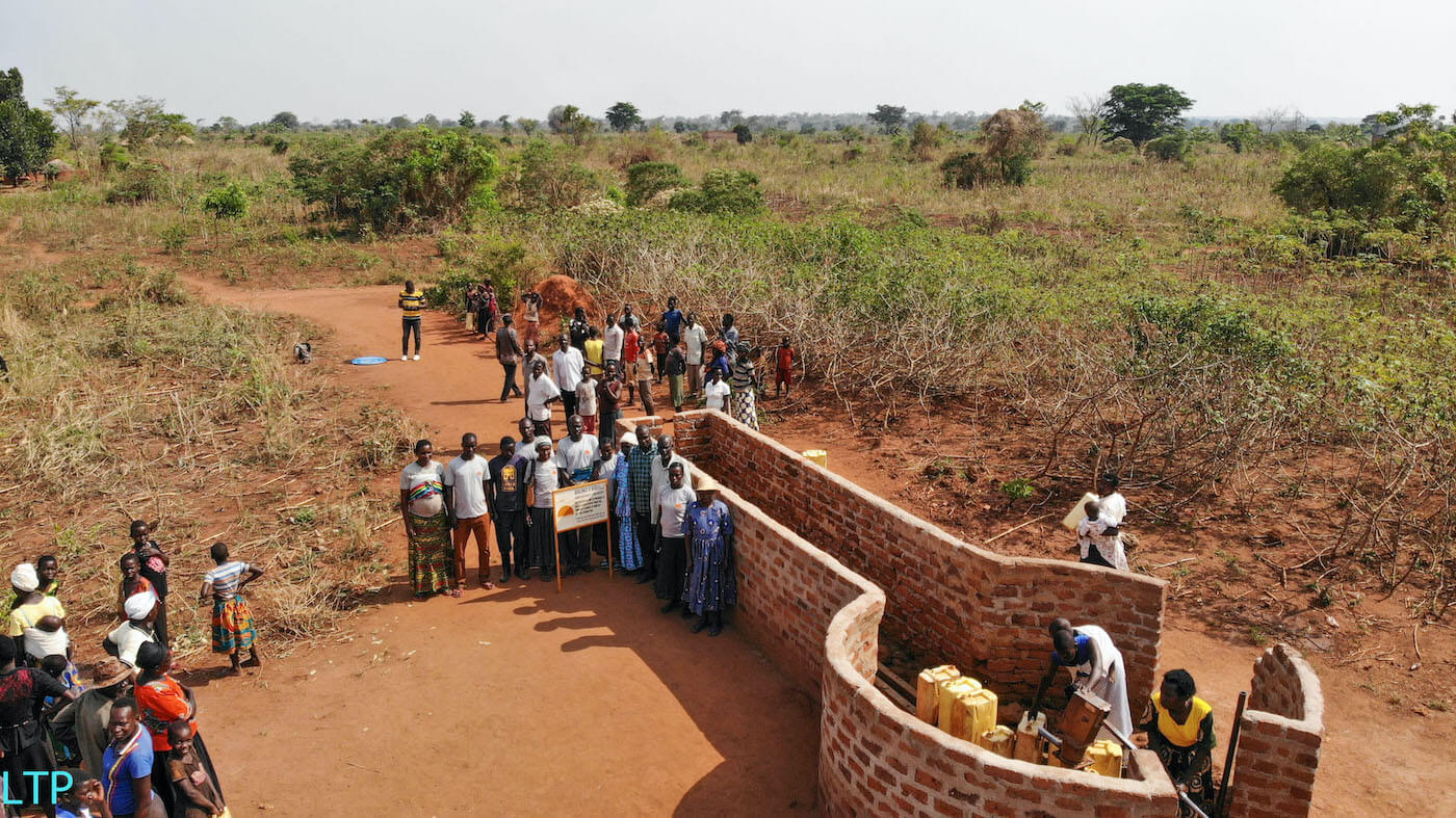
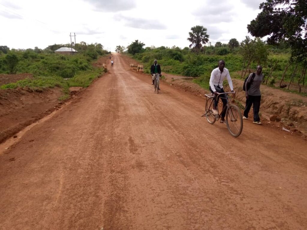
Dokolo, located along the shores of Lake Kwania, spans 1,071 km² and is recognized for its dynamic fishing communities. Its estimated 2024 population is about 230,000 (51% female, 49% male; 51% under 18), rising from 183,000 in 2014.
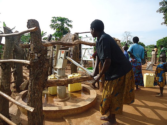
Fishing and agriculture are central to the local economy, with sorghum and beans as staple crops. Trade activities thrive in Dokolo Town Council. The district also hosts notable educational institutions, such as Dokolo Technical School and Dokolo Girls’ School.
Dokolo preserves a rich cultural identity through Lango festivals and oral histories, including accounts of its support for deposed kings in the 19th century. Long-serving MP Cecilia Atim Ogwal stands out as a key figure in the district’s political landscape.
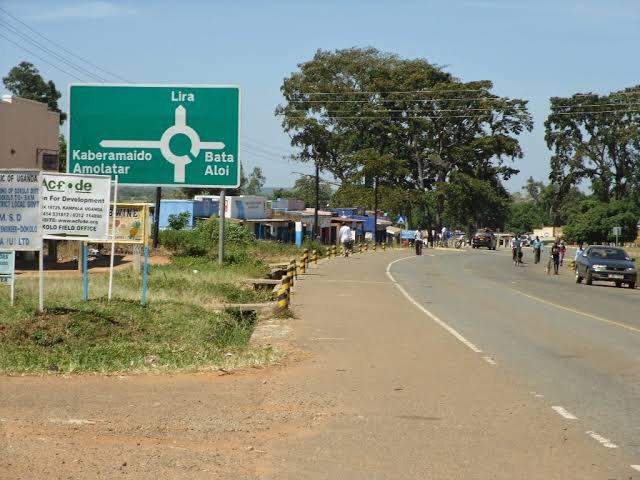
Challenges remain, including teenage pregnancies (2,363 cases in 2021), widespread malaria (33,673 cases in 2023), and low academic performance. Nevertheless, Dokolo’s strategic location on the Tororo–Lira Highway offers strong growth potential if infrastructure development is prioritized.
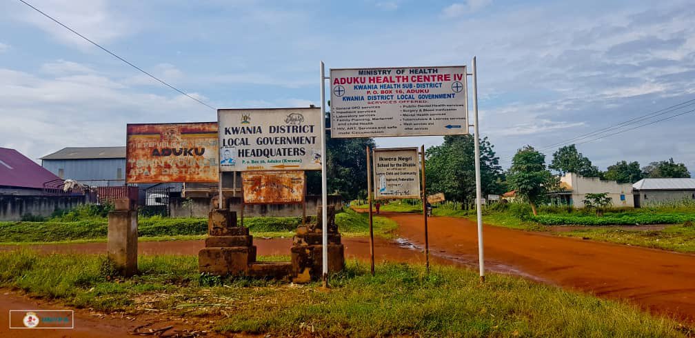
Formed in 2018, Kwania is one of Uganda’s newest districts, covering 1,092 km² along Lake Kwania. Its 2024 population is estimated at approximately 200,000 (51% female, 49% male; 51% under 18), up from ~153,000 in 2014.
Fishing and maize farming are the primary economic activities, supported by trade in towns like Aduku Town Council. Kwania has gained national attention for its innovative bicycle program that improves access to ARV treatment for HIV/AIDS patients.
Cultural heritage remains strong through clan gatherings and traditional ceremonies. Women leaders such as Judith Atek Ilwak have emerged as key influencers in governance and social advocacy.
Despite a relatively low teenage pregnancy rate, the district faces challenges including a 5.6% HIV prevalence, unresolved land conflicts, and underdeveloped infrastructure. Continued investment in education and transport systems is critical for future development.
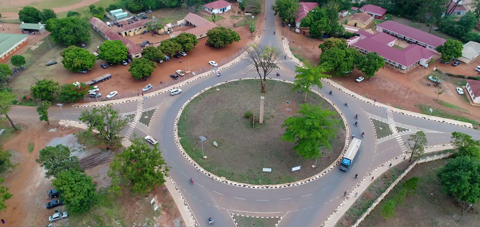
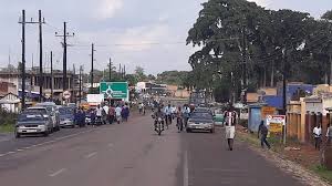
Lira District, the commercial hub of the Lango sub-region, spans 1,326 km² and includes the urban center of Lira City. As of 2024, the population stands at 559,513 (51% female, 49% male; 50% under 18).
The district’s economy is diverse, with agriculture (sorghum, beans) and vibrant service industries centered around markets like Juba. Lira Regional Referral Hospital serves several surrounding districts, though it struggles with congestion and limited resources.
Culturally, Lira is the home of the Lango Cultural Foundation, symbolized by the rhino. Community by-laws and the leadership of MP Joy Atim Ongom have played an important role in advancing social justice, particularly in addressing sexual abuse.
However, Lira still faces major hurdles: teenage pregnancies (3,871 cases in 2021), domestic violence (1,180 cases in 2020), and recurring land disputes. Its strategic location and cultural vibrancy make it a key regional center, but health and infrastructure systems remain under pressure.
Otuke District, a semi-arid region in the Lango sub-region, spans 1,547 km². Its 2024 population is estimated at about 130,000 (51% female, 49% male; 50% under 18), up from 104,300 in 2014.
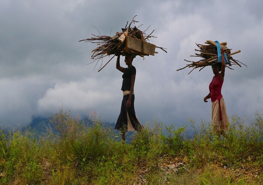
The economy is driven by agriculture, particularly cassava and groundnut farming, with more than 90% of residents engaged in subsistence farming. Livestock production remains underdeveloped due to historical cattle raids.
Otuke’s cultural life is deeply rooted in Lango oral traditions and clan-based customs. MP Silvia Akello has been active in advancing development and advocating for community welfare.
The district faces significant obstacles including a 72% malaria test positivity rate (2023), teenage pregnancies (1,506 cases in 2021), and poor road conditions—especially on routes like Agweng–Barjobi. Resilience and agricultural potential make Otuke a promising district if climate adaptation and infrastructure are prioritized.
Oyam District covers 2,196 km² and is a leading agricultural zone in the Lango sub-region. Its 2024 population is estimated at 497,736 (51% female, 49% male; 50% under 18).
The local economy is sustained by simsim, soybeans, and cotton farming, though production is hindered by low prices and counterfeit seeds. Trade continues to grow in Oyam Town Council, aided by three agricultural seasons each year.
Cultural identity is strong, with regular Lango festivals and clan gatherings. Educational institutions like Abok Seed Secondary School and political leaders such as MP Santa Alum Ogwang have played a significant role in local development.
Nonetheless, Oyam faces numerous development challenges: teenage pregnancies (4,448 cases in 2021), malaria (42,874 cases in 2023), land disputes, and poor roads that limit the impact of government programs like the Parish Development Model (PDM). Investment in agro-processing and infrastructure is urgently needed.
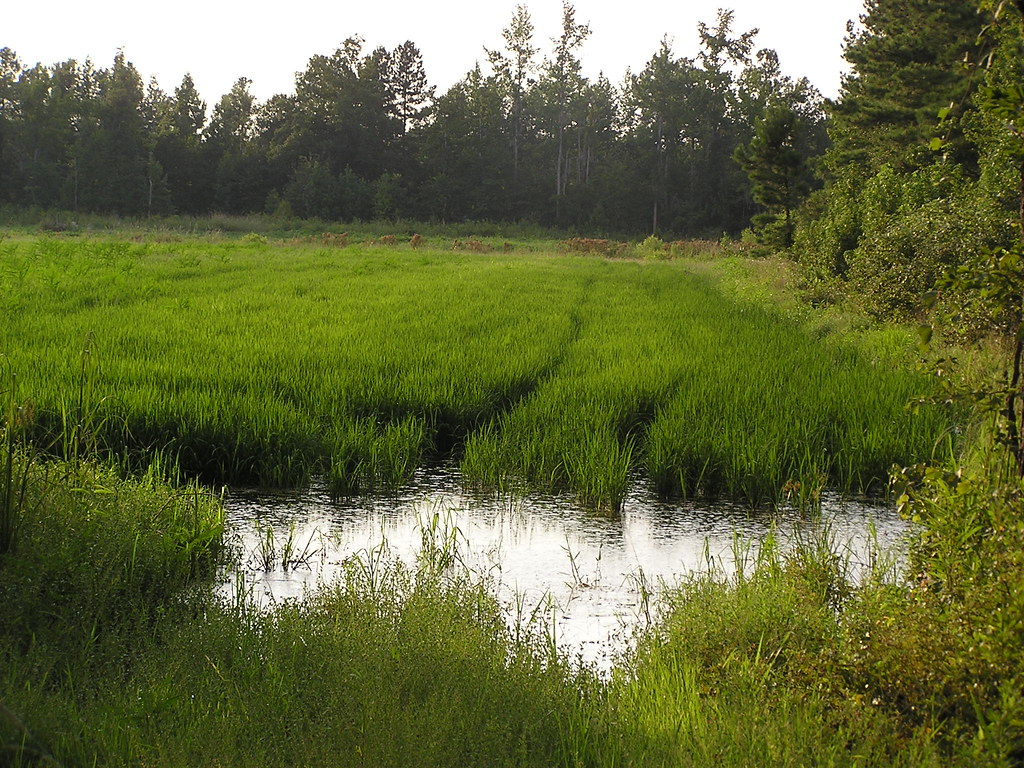
The Lango Sub-Region, home to 2.57 million people, celebrates a vibrant heritage, stunning landscapes, and a thriving community in mid-northern Uganda.
Copyright © 2025 Lango Sub-Region. All Rights Reserved